Bronze Age stone circle on Stapeley Hill, Shropshire
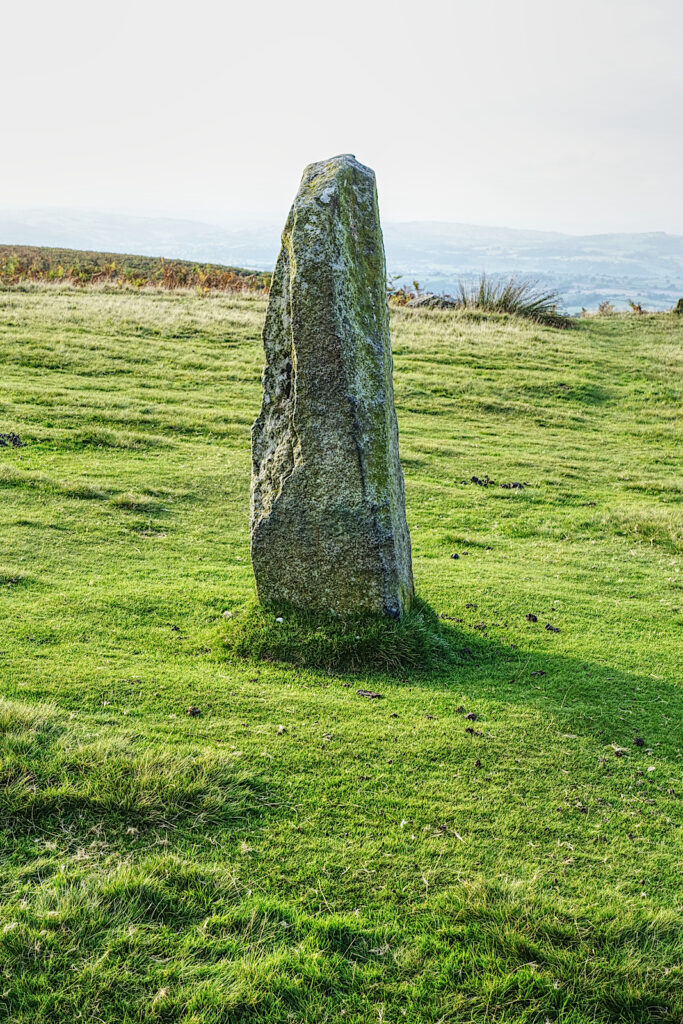
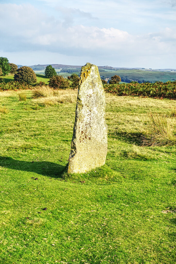
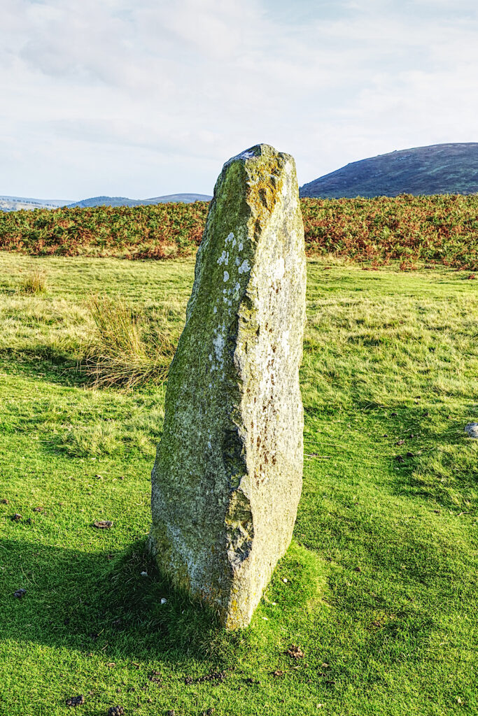
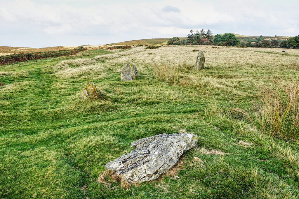
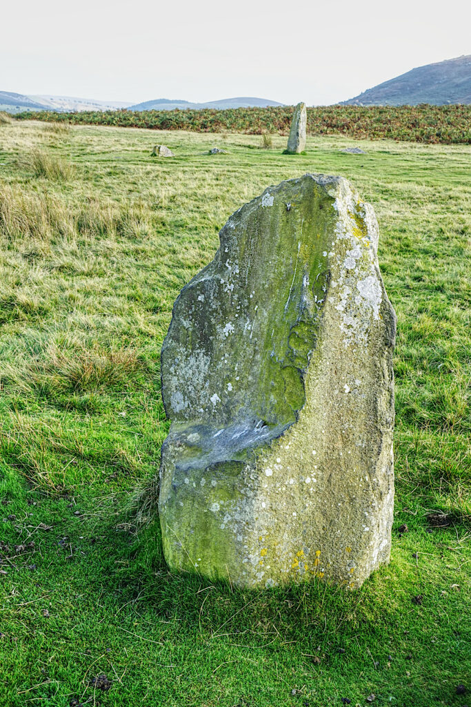
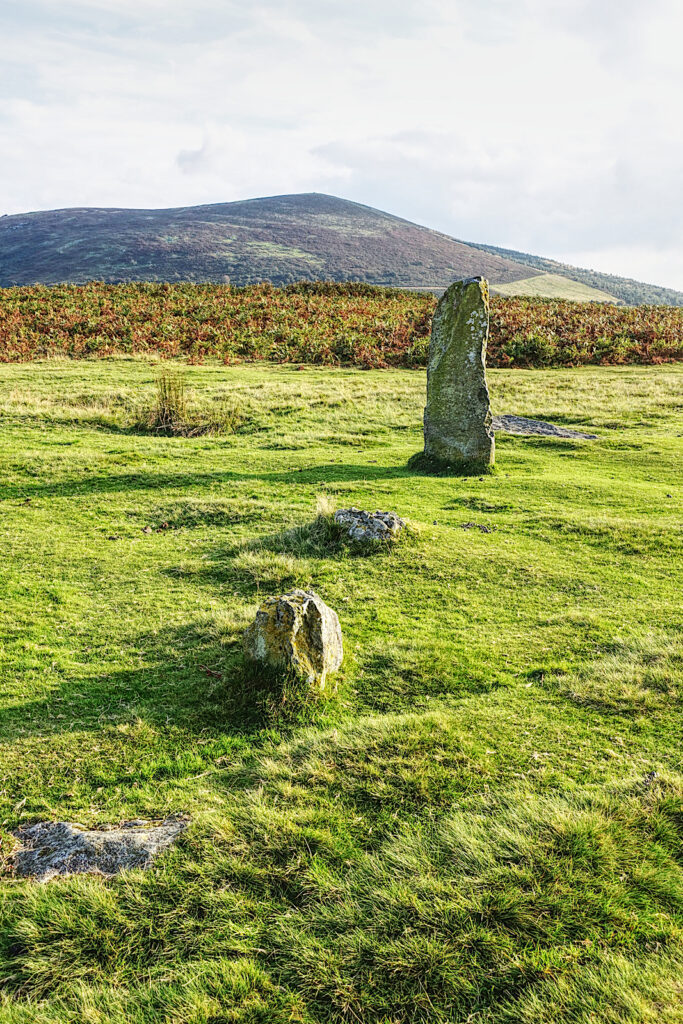
Mitchell’s Fold is a stone circle in southwest Shropshire, located near the small village of White Grit on dry heathland between Stapeley Hill to the north and Corndon Hill to the south.It dates to the Early Bronze Age, around 2000 BCE. The monument comprises 15 stones arranged in an ellipse measuring 30 m (100 ft.) by 27 m (88 ft.). Originally, there might have been up to thirty stones. The dolerite stones are thought to have been brought from Stapeley Hill to the northwest and are of a uniform geology. The majority protrude above the turf to an average height of 0.4 m (1 ft. 4 in.); there are two recumbent stones; and three stones are appreciably taller than the rest with heights of 0.9 m (3 ft.), 1.4 m (4 ft. 6 in.) and 1.7 m (5 ft. 6 in.). Aerial photography shows that there is a central stone now hidden below ground. An outlying stone 0.7 m (2 ft 3 in.) in height stands on a small prominence to the southeast.